GATEWAY TO MOAB
Across the desert lies the promised land.
The highways between Colorado and Moab look like the set of the Road Warrior, a desolate landscape with no interest or appeal. This is an alternative backcountry route to Moab from Grand Junction via Gateway. It begins with John Brown Canyon, a stunning desert setting with sweeping views back towards Colorado as you climb the first hill. Beaver Mesa and Thompson Canyon are sandy dirt roads that are more about where you are than what you are doing. The whole drive is excellent, but the real gem is Onion Creek. The rock formations around the road and the water crossings are unique and memorable. After driving Onion Creek I started recognizing it in car commercials.
Technical:
Start Point: Gateway
End Point: Onion Creek / Highway 128
Total Mileage: 55+/- each way
Difficulty: Easy
Highest Elevation: 7,842
Season Travelled: Late Summer
Permits Required For: n/a
Delorme Atlas & Gazeteer™ Colorado: p. 54
Delorme Atlas & Gazeteer™ Utah: p. 47
Camping:
Gateway Public Grounds Campround
Hideout Canyon Camping Area
Upper Onion Creek Campground
Lower Onion Creek Campground
Route Video: Gateway To Moab (youtube)
Highway 50 / 141 Unaweep Tabeguache Scenic Byway: 47 Miles (not included in trip total) -141 is an incredibly beautiful drive from the Grand Junction area to Gateway. People bring motorcycles from around the country to cruise this road. The Uncompahgre Plateau / Divide road connects with 141 along the way, another incredible experience.
Gateway Canyons General Store: Start –The last gas before the desert, brought to you by some of the nicest people you’ll ever meet. We left our credit card there on the way and they bent over backwards to get it back to us. Thank you, GCGS!
4 4/10 / FS207 John Brown Canyon: 21.3 Miles -JBC is a Colorado Birding Trail. JBC begins next the Gateway Canyons Resort south of the General Store. The turn is well marked and the road starts off paved but turns to dirt as you enter public lands. There are dispersed camping areas in the first few miles and the creek runs next to the road until it begins to climb. @5:50 in the video, 8.2 miles our data / gauges go all catywampus near a sign warning of open Uranium mines and radiation. Along the way there are handmade signs at each intersection reading “MOAB” with an arrow, making route finding very easy. It’s a gorgeous road the entire way, with views of mountains, ranches and sweeping deserts.
FS 33 North Beaver Mesa: 4.3 Miles -This has various names on various maps including Polar Mesa Road, but that’s what the sign next to the road says. Everything from here forward has random names on different maps; I’m using the names on the road signs. This is a fun section of desert road, rougher than JBC but still 2wd. The views into Monument Valley are excellent in the first mile, and the road dips and turns more than JBC and has more washboards.
FS 605 Thompson Canyon / Kokopelli Trail: 15.1 Miles -On the road this turn is marked “Fisher Val 11”, and the turn is marked with a “Kokopelli Trail” sign. It’s pretty easy to navigate. The surface is sandy but firm, driving is fast and easy. The road circles some amazing rock formations and cuts through dense areas of bushes and trees. @22:38 in the video, 35.3 miles is a hill that is the hardest part of this route. This is a long, steep uphill that was no problem at all for our Xterra, we never spun a tire. There is a cattle gate at the top, leave it as you find it.
@23:17 in the video, 36.7 miles is the intersection with Taylor Ranch Road. This is a cool intersection, the signs are picture worthy. I screwed up and ended up driving to the ranch and turning around. I don’t regret it, it was beautiful. The correct choice is “Right”.
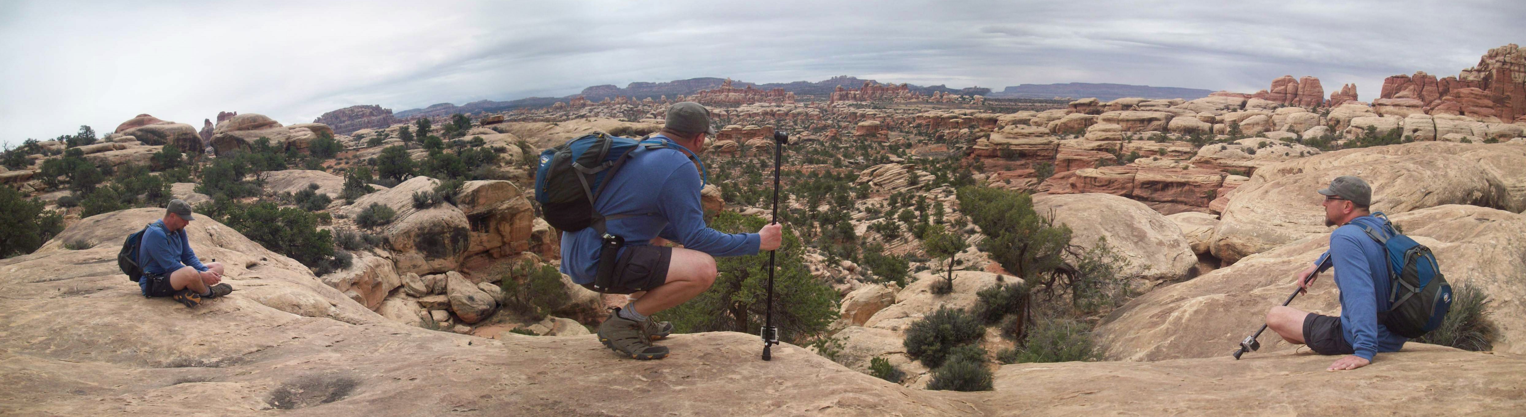
Onion Creek: 10.5 Miles -This is it. The drive up to here has been incredible, this is where it gets epic. The canyons, cliffs, rock formations, water crossings and the overall visual impact of where you are makes this our favorite section of this route. It’s stunning end to end, and there are many great places to stop for breaks and pics. The Priest and Nuns formation is visible towards the end by 128. The road is easy, with a few narrow sections with small dropoffs and soon ends at Highway 128.
The Reverse Route:
After a few days of driving and hiking some of Moab’s funnest trails we were tired, but not done. We wanted to keep the adventure going but weren’t up for having any real challenges to complicate the day. We decided to try this route and ended up loving it. Sand Flats Road is surprisingly beautiful when you get away from the crowds and it was fun to go past trailheads we had driven in the days before. La Sal Mountain Road has incredible views overlooking the Moab area and Castleton Valley, especially at sunrise and set. John Brown Canyon looks like a different road in this direction, and the final descent into Gateway is truly epic in it’s beauty. Just like you.
Reverse Route Video: Moab To Gateway (youtube)
Sand Flats Road: 18 Miles -Hells Revenge, Fins n’ Things and Porcupine Rim all start from this road, along with some popular campsites. The further away from Moab you get the more of a desert road it becomes, quieter, with beautiful views back towards Moab and dispersed campsites popular with bikers. It twists and turns through flat deserts, along rocky dropoffs and next to ranch lands. It’s beautiful, I was surprised how much I enjoyed this lovely dirt road.
La Sal Mtn Road: 16.6 Miles -Another scenic Utah road, high up over Moab with views over Castleton Valley. The photo ops never stop on this road, including the world famous Priest and Nuns formation from different angles. Paved, with multiple pulloffs and an outhouse.
4 4/10 / FS207 John Brown Canyon: 21.6 Miles -Pavement mercifully ends. This is a stunning drive in this direction, especially the final downhill going into Gateway.
If you’d like to support this site please subscribe to our channel on youtube
Copyright © 2024 All Rights Reserved
All materials on this site are protected by copyright and intellectual property laws and are the property of the Author. You may not reproduce this material on your personal website, blog, social network, or any other online, offline, digital or print resource without permission.
You may only access and download the materials located on ColoradoOverlandRoutes.com for personal, non-commercial use.
