THE GREAT EATSPEDITION
Burritos, Burgers, Bakery and Backroads on the way to the Great Sand Dunes National Park
From Kittredge to Westcliffe we eat our way south on our way to the Great Sand Dunes National Park along some fantastic dirt roads and easy trails. This route goes along more old railroad beds than everything else combined: Platte River Road, Old Stage / Gold Camp, Phantom Canyon and Oak Creek Grade are all railroad beds created during Colorado’s gold rush. We also stop at three excellent local eateries to fuel our trip. Infact, the only reason it starts in Kittredge is Brian’s Good Eats at the General Store. Brian is a super nice guy who makes breakfast burritos that are second to none, and we get them whenever we can. We ate too many of them while driving next to the gorgeous Platte River, heading to 4×4 time on Hotel Gulch to Rampart Range, Garden of the Gods and Gold Camp road. Mining history and stunning rocks in Victor and Phantom Canyon lead to oversized burgers from the kind people at Big Burger World that we savage along the shelf of Oak Creek Grade into Westcliffe, where we staged for the night before overstocking on early morning baked goods from the wonderful Sugar and Spice Mountain Bakery and the absolute crushing of Music Pass as we eat our way to infinity and beyond. Supporting local business is the right thing to do, and it’s easy when the food is so good! Overlanding and overeating are a fun combination.
Technical:
Start Point: Kittredge General Store
End Point: Westcliffe
Total Mileage: 198.2 Miles
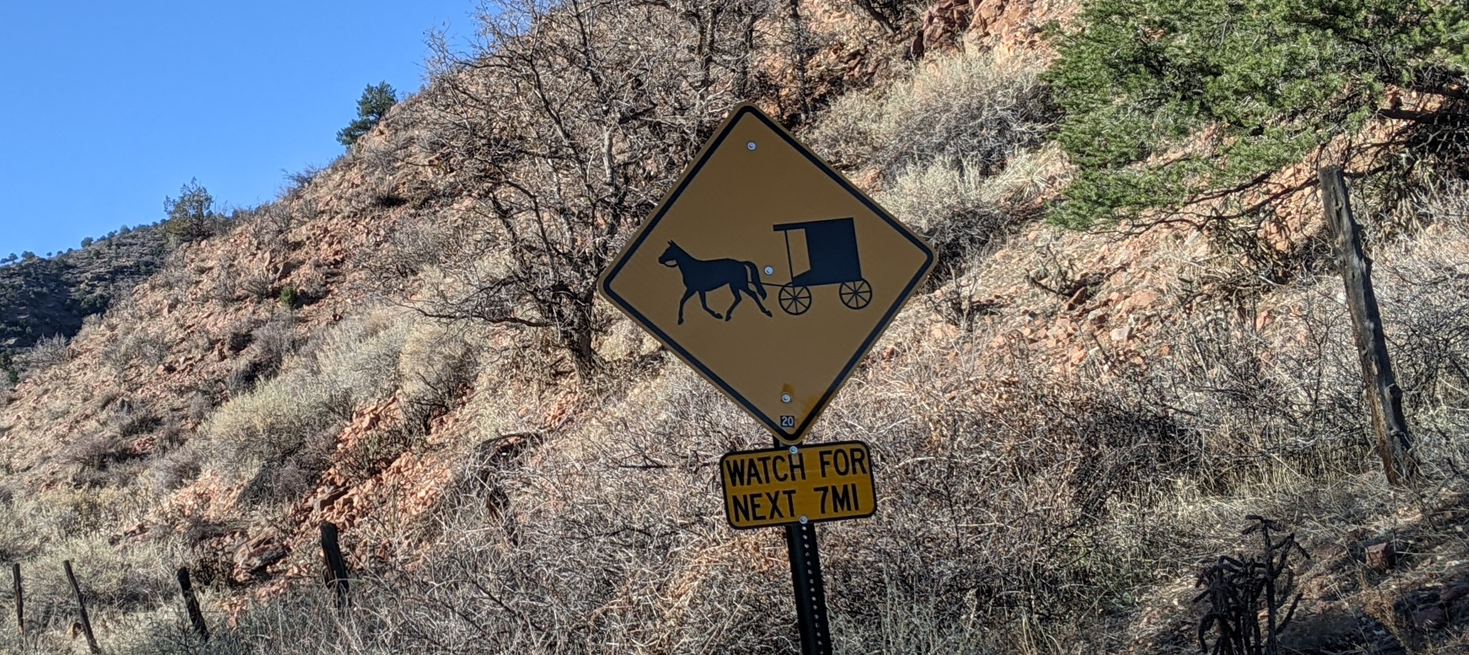
Difficulty: Easy
Highest Elevation: 10,630
Season Travelled: Late Summer
Permits Required For: n/a
Delorme Atlas & Gazeteer™ Colorado
(in order of route):
p. 39, 50, 62, 72 & 71
Camping:
There is dispersed camping along Rampart Range,
Old Stage, Gold Camp and Phantom Canyon Roads.
Osprey Campground
Ouzel Campground
Platte River Campground
Painted Rocks Campground
Devil’s Head Campground
Flat Rocks Campground
Indian Creek Campground
Devil’s Head Campground
Flat Rocks Campground
Indian Creek Campground
Phantom Canyon / Royal Gorge Region
Route Video: The Great Eatspedition (youtube)
Kittredge General Store -We stop here for Brian’s Burritos and got a few for the road. It’s a cool little town too, Evergreen Lake is nearby.
CO 74 South to 73 South: 11.4 miles -Paved. A quiet backroad. Along the way is a fun easy hike at Flying J Ranch. Last gas for a while at the Stinker just before 285, we filled up.
US 285 South: 0.3 miles -The enter lane becomes the exit lane, no merge required. On and off like a mosquito. This exit is where The Mule begins as well.
South Foxton Road: 8.5 miles -A quiet paved backroad. Reynold’s Park is on this road, a great Jefferson County Open Space Park.
West Platte River Road: 20 miles -A beautiful drive next to the river on a mostly dirt, narrow and winding road. Many places for day use; fishing and kayaking are popular here. The closed South Platte Hotel and the William Westall monument are interesting stops along the way, as is the trailhead for segment two of the Colorado Trail.
Video of this road Platte River Road
CO 67 South: 7.4 miles -Paved, runs through part of the tragic Hayman Burn Scar.
CO 79 to FS 346 Hotel Gulch: 4.7 miles -An easy / moderate 4×4 trail through beautiful woods. Popular with ATVs.
FS 300 Rampart Range Road: 29.8 miles -An easy, often graded dirt road with abundant camping and trailer access. The biggest obstacle is washboards. Beautiful views and campsites.
Garden of the Gods Road: 0.3 miles -Paved. We didn’t stop here, too many tourists.
CO 24 South: 2.4 miles -Paved.
21 South / Cresta Road: 3.3 miles -Paved.
Cresta becomes Mesa / Park / El Pomar Roads: 0.7 miles -Paved, not as confusing as is seems.
Penrose Blvd: 0.4 miles -Paved.
FS 369 Old Stage Road: 7.1 miles -Pavement ends at 98.6 miles. Beautiful winding mountain road, some rough areas but 2wd in dry weather. Shelf areas are wide and safe with great views back over Colorado Springs.
Video of this road Old Stage & Gold Camp
CR 8 Gold Camp Road: 20.4 miles -Great section, follows and old railroad bed with some wide shelf areas and incredible views. Many dispersed campsites along the way. Some rough areas, rutted and embeded rocks, and a wonderful old tunnel. 2wd in dry weather.
Video of this road Old Stage & Gold Camp
CR 81 Grassy Creek: 4 miles -Paved.
CR 67 Phantom Canyon Road: 30.3 miles -Pavement ends at 129.5 miles. This is the most beautiful part of the route, with farmlands, forests, an historic steel bridge, amazing rock formations and a meandering stream. Easy and graded the whole way down, even with the rain. 131.5 miles the storm causes data to reset, we lost our mileage and duration. The bottom of the video reflects that going forward. It happens…
Video of this road Vindicator Valley & Phantom Canyon Road
CO 50 West: 7.1 miles -Paved.
South 9th Street: 1.3 miles -Paved. We’re going this way to get to Big Burger World.
Elm Avenue: 0.3 miles -Paved.
CR 143 Oak Creek Grade: 28.9 miles -Pavement ends at 39.1 miles. Resumes at 62.9 miles. A couple of shelf sections keep your attention but are flat and easy. The beautiful views and forests really make this road a great way to wrap up the run.
Video of this road Oak Creek Grade
CO 96: 0.4 miles -Paved. Route ends at intersection with CO 69 Westcliffe at the Sugar and Spice Mountain Bakery.
If you’d like to support this site please subscribe to our channel on youtube
Copyright © 2024 All Rights Reserved
All materials on this site are protected by copyright and intellectual property laws and are the property of the Author. You may not reproduce this material on your personal website, blog, social network, or any other online, offline, digital or print resource without permission.
You may only access and download the materials located on ColoradoOverlandRoutes.com for personal, non-commercial use.
