THE MULE
Backroads to the Alpine Loop Section One: Conifer to Salida.
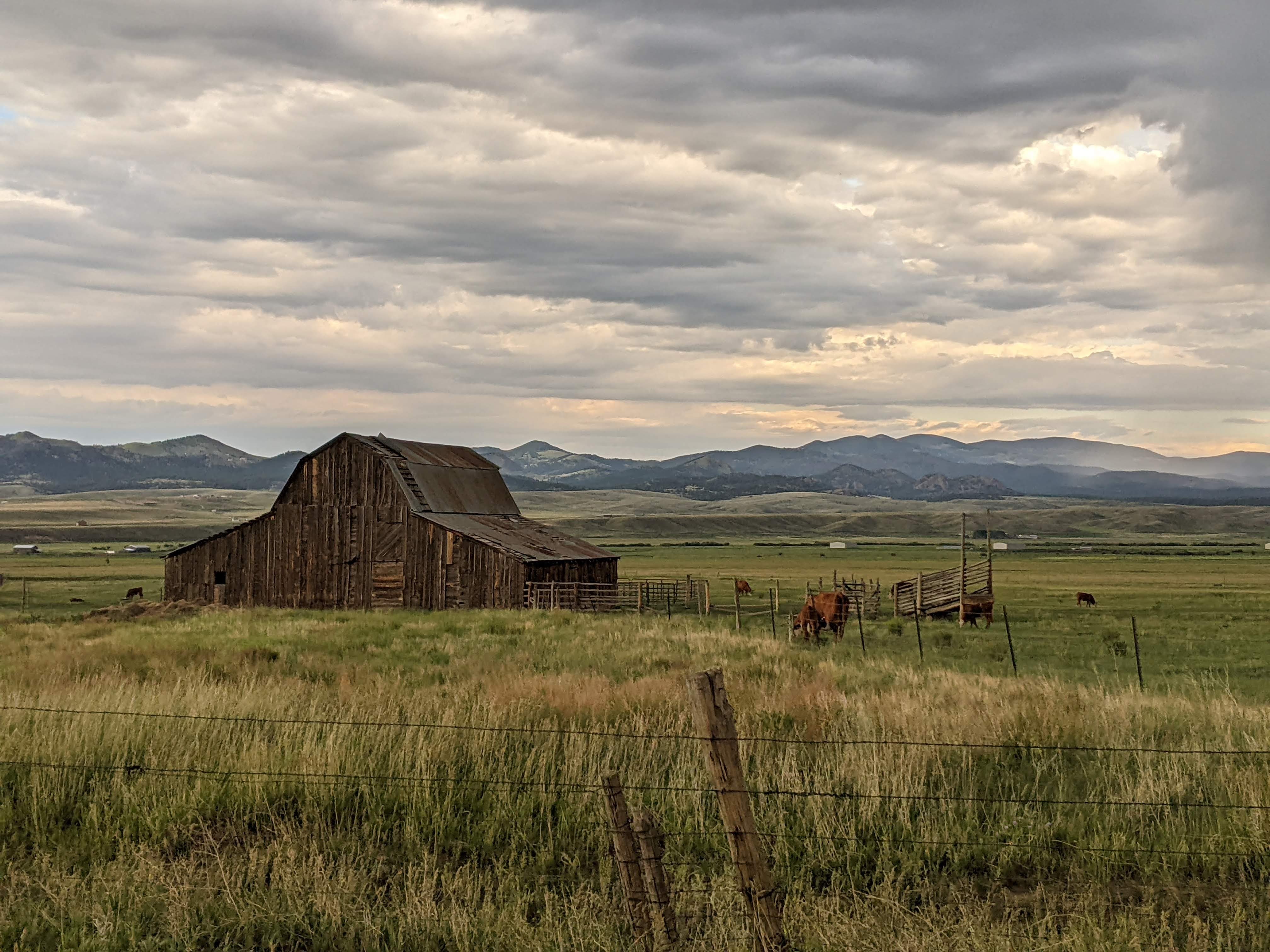
Named for a gentle mule we met along the way, this route was slow, cool and beautiful. We travelled along 100.5 miles of dirt roads and 51.2 miles of quiet backroads. There is a lot of camping the whole way, along with lakes, reservoirs, creeks, the tragic Hayman burn scar, the odd town of Guffey, and some of Colorado’s best and least used forest roads with turnoffs for other adventures.
Technical:
Start Point: Conifer
End Point: Salida
Total Mileage: 152.7 Miles: 100.5 Dirt, 51.2 Paved
Difficulty: Easy
Highest Elevation: 9,824
Season Travelled: Late Summer
Permits Required For: n/a
Delorme Atlas & Gazeteer™ Colorado (in order of route):
p. 50, 49, 61 & 60
Route Video: The Mule (youtube)
CR 97 South Foxton Road: 8.2 miles –A quiet paved backroad. Reynolds Park is on this road, a great Jefferson County Open Space Park.
CR 96 SW Platte River Road: 4.6 miles –A beautiful narrow road next to the Platte river, tragically paved during the Corona pandemic.
CR 126 Deckers Road: 4.4 miles –Quiet, lovely county road, last pavement for 51.3 miles.
FR 550 Redskin Creek: 9.6 miles –Popular camping area for mountain bikers, wide graded dirt with sites that can fit trailers. The Colorado Trail (hiking), segments 2 and 3, pass through this area.
FR 560 Stoney Pass: 15.1 miles -Gentle graded dirt road with a kids camp and stunning Wellington Lake along the way.
CR 211 Goose Creek: 22.8 miles –An interesting and shocking drive through an immense burn scar, leading to forested areas by water that show what used to be. Every year there are single vehicle rollover crashes on this road, it is too easy to go too fast.
CR 77 Tarryall Road: 6.9 miles –Paved, beautiful. Alternatively turn right / north here for China Wall 4×4 Trail.
US 24 E: 0.2 miles -paved.
CO 90 Arkansas Gulch: 213 feet -Don’t blink!
CR 92 Caylor Gulch: 15.1 miles –Paved but pretty county road.
Elevenmile Reservoir State Park –Lovely mountain reservoir for boating, fishing and camping. Beautiful long views going past the reservoir on one of the most perfectly messed up, post-apocalyptic feeling roads I’ve ever driven. I hope they never fix it.
CR 59 Thirtynine Mile: 17.2 miles –Graded dirt road along the other side of the reservoir. Pavement ends at 89.4 miles.
CR 102 Freshwater Creek: 5.2 miles –Paved, leads to the town of Guffey. Guffey is intentionally weird and is worth seeing. Nice people there too.
CO 9 N: 1.6 miles –paved.
CR 88 Black Mountain: 5.9 miles –A stunning, well maintained dirt road. Scattered driveways and mailboxes, most houses are too far from the road to see.
CtyR 2A South Side Black Mountain: 5.8 miles –Beautiful Aspens give way to wide open spaces on a seldom used but well maintained dirt road. *shows on some maps as a continuation of CR88
CR 2 Poncha Pass / Gribbles Run: 16.7 miles –Fast, open road gradually enters forested areas and becomes more narrow and winding.
CR 175 Ute Trail: 12.1 miles –Winding mountain road through Aspen and Pine trees, with minor shelf areas opening to gorgeous views of the Collegiate Peaks. Travels gradually downhill to the outskirts of Salida. Pavement resumes at 150.6 miles.
Intersection with CR 185 Aspen Ridge / Fourmile Area -*shows on some maps as CR184 Epic camping along Aspen Ridge and beyond. Fourmile has great camping, fun trails, and is a destination unto itself. Read more about it here.
Intersection with CR 176 Spiral Drive –Spiral Drive is a shelf road that twists around Tenderfoot Mountain to an observatory at the top that overlooks Salida. Fun detour. It’s at the end of the video.
CO 291 Salida –Time for Mo Burrito
If you’d like to support this site please subscribe to our channel on youtube
Copyright © 2024 All Rights Reserved
All materials on this site are protected by copyright and intellectual property laws and are the property of the Author. You may not reproduce this material on your personal website, blog, social network, or any other online, offline, digital or print resource without permission.
You may only access and download the materials located on ColoradoOverlandRoutes.com for personal, non-commercial use.
